
| glossary | menu | Normal | lg | hc | 9.) Fluvial Geomorphological Applications in River Forecasting > Karst River Flow Analysis |
| < Previous | 1 | 2 | 3 | 4 | 5 | 6 | 7 | 8 | 9 | 10 | 11 | 12 | 13 | 14 | 15 | Next > |
Karst River Flow Analysis
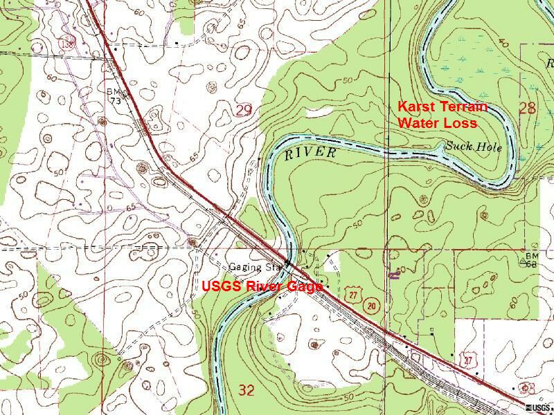
USGS gauging station data for peak Stream flow are provided for download as a WATSTORE.txt file. Further, USGS 9-207 and Daily Discharge observations are provided for download and optional exploration.
These data can be analyzed for recurrence probability as performed in the earlier FGM Module Section, however a Bankfull stage is not provided for this gage. Discharge on the Santa Fe River, where some flow is partially subterranean, is likely lesser than a non-karst terrain system for with the same watershed size and climate.
The Datum of the gauge is 20.86 feet above sea level NGVD29, which began recording sub-daily surface flow in 1928-08-27 and has continued through 2000-09-17. Daily Stream flow records range from 1927-10-01 to 2002-09-30.
Conducting fluvial geomorphological analysis on this karst site requires special attention to flow losses, and dye tracing is often used to assist in quantifying dilution and losses.
Image courtesy of USGS
| < Previous | 1 | 2 | 3 | 4 | 5 | 6 | 7 | 8 | 9 | 10 | 11 | 12 | 13 | 14 | 15 | Next > |