
| glossary | menu | Normal | lg | hc | 7.) Classification and Channel Geometry Relations > Measuring Regionally |
| < Previous | 1 | 2 | 3 | 4 | 5 | 6 | 7 | 8 | 9 | 10 | 11 | 12 | 13 | 14 | 15 | 16 | 17 | 18 | 19 | 20 | 21 | 22 | 23 | 24 | 25 | 26 | 27 | Next > |
Measuring Regionally
Regional measurements take on a variety of interpretations. Field studies have shown an excellent correlation between Bankfull Discharge and watershed area for channels within regions defined as: Western Cascades, Upper Salmon River, and Southeast Pennsylvania. Others have shown that the region must compare channels with similar degrees of urban and rural land cover, or similar flow controls such as extractions or reservoirs.
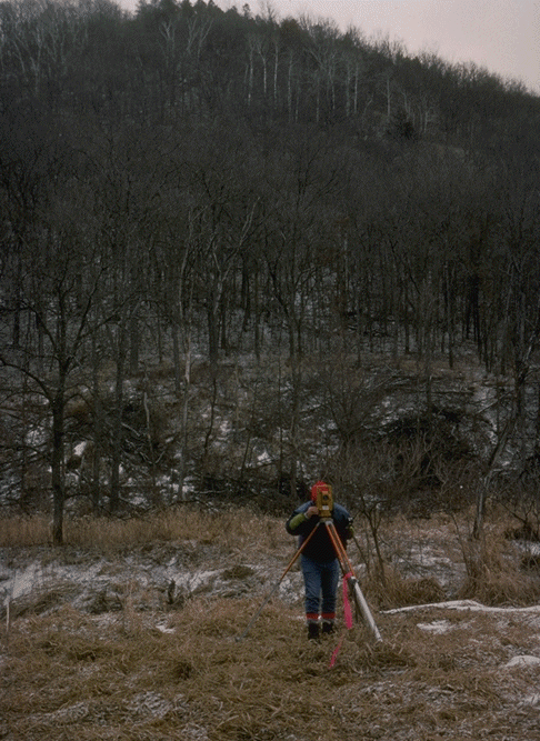
A data point representing the Bankfull Discharge for a given watershed drainage area is often taken a USGS Stream gage, where conditions have been relatively stable. Efforts are made to visit gauges at a variety of watershed areas, often scaling several orders of magnitude. In many applications, the protocol for entering that data point requires that channel surveys extend 10 to 20 Bankfull Widths up and downstream from the gage, measuring pattern, profile, and dimension and to classify the Rosgen channel type and assess stability.
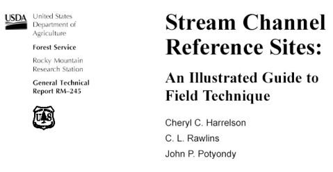
The US Forest Service provides a downloadable PDF booklet, the title page shown in the figure. This Stream Channel Reference Sites: An Illustrated Guide to Field Technique is General Technical Report RM-245 from the Fort Collins Rocky Mountain Forest and Range Experiment Station.
Image courtesy of FISRWG and USFS
| < Previous | 1 | 2 | 3 | 4 | 5 | 6 | 7 | 8 | 9 | 10 | 11 | 12 | 13 | 14 | 15 | 16 | 17 | 18 | 19 | 20 | 21 | 22 | 23 | 24 | 25 | 26 | 27 | Next > |